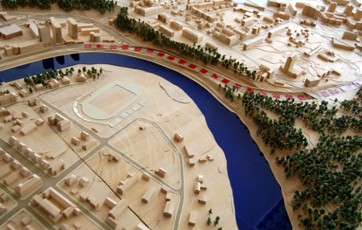
Today, the vast majority of humanity lives and uses environments that were and are brought into being via human interventions with space. These interventions lead to an output which is physical by nature (buildings, streets, neighborhoods, etc.).
However, the fact that these physical elements are a product of human actions means that the underlaying processes for producing them are driven by individualistic, social, and cultural perceptions and practices. The geocultural informatics labs operates out of the assumption that the physical act of environmental modifications encodes these perceptions and practices, meaning that the physical outputs contain latent social and cultural information. Hence, using the right approach and methods, this information can be excavated out of observable physical elements. Accordingly, the primary goal of the lab is to develop approaches and methods for uncovering this socio-cultural information. Specifically, we aim to develop methods for extracting socio-cultural information out of geodata layers describing human environments and activities. This will allow devising new representations which interpret geodata, and hence space, not just as an array of physical objects but as an embodiment of constantly evolving social and cultural landscapes.
Society and culture are fussy terms which are hard to define and capture. Hence, while the main emphasis of the work in the lab is on geo-computational methods, we constantly seek to incorporate into our work qualitative methods and data, through mixed methods approaches, as these can produce information on the socio-cultural principles organizing space and activity. These include qualitative coding of space, field work, engagement with residents and users of spaces, and even opens for ethnographic studies. This work is meant to produce insights about the general organizing principles and practices of specific spaces in relation to local cultures and societies. These insights are formalized in a manner fitting with computational environments so to produce database structures and operational measures that can be applied for geoinformation layers. This opens for developing and using geoinformation and Geographical Information Science methods, e.g. spatial analysis and data-driven methods, for entire spaces. For example, this will allow measuring the extent to which different places follow various principles, identifying hotspots of local cultures within a city, measuring cultural overlaps, and tracing the evolution of spatial cultures (or the spatial aspects of culture).
Understanding the underlaying cultural structure of human habitats is crucial nowadays as cities rapidly grow, frequently through local and international migration. Cities thus become a hub for cultural interactions and change. The knowledge provided via the geo-cultural representations derived from our work can thus enhance the representation of residents and communities in planning processes and produce more informed and inclusive designs that are sensitive to urban complexity. Accordingly, we strive to produce not only academic outputs but also practical tools and knowledge that can be utilized by planners and integrated into planning procedures. These include computational tools processing available data and producing recommendations and cartographic and quantitative outputs that allow users to explore their spaces and understand it better.